
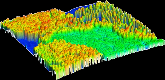
A LIDAR, light detection and ranging, is a technology based map that uses light to determine the distance between two points. It is a remote optic sensor that conveys distance or some other property and by use of cmputer sofware renders a map. This LIDAR image was used to display the layout of the land in a US location.
No comments:
Post a Comment